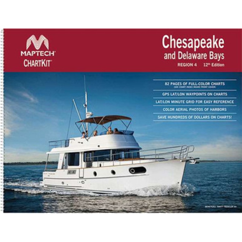
Used by generations of boaters, Maptech ChartKit Books are full-color reproductions of U.S. government and private charts spiral bound into popular cruising regions. The convenient-sized books are large enough to allow for manual plotting, yet small enough to sit on your nav-station or lap.
- GPS Ready – Easy to use with your GPS. Most charts include one-minute lat./long. grids to make vessel positioning a breeze, and major navigation aids are identified with named GPS waypoints.
- Small and Large Scale Charts – ChartKits include small-scale, wide area charts as well as large-scale, detailed charts of harbors and approaches. The Chart Page Index (inside front cover) and ”Go-To” page numbers make it simple to quickly find the chart you want.
- Pre-plotted Courses – Maptech’s navigation editors add magnetic courses between major navigation aids with distances in nautical miles. ChartKits are also designed to help you do the calculations yourself. Each page includes a Compass Rose with annual increase in variation and complete scale information.
- Aerial Photos – Color aerial photos of harbors and anchorages help you know what to expect before you get there.
- Companion CD – It’s all here… digital charts and the software tools to use them. And the great thing is the digital charts are the same identical charts with GPS waypoints and course lines ? just like in the Chartbooks.

Reviews
There are no reviews yet.