FREE SHIPPING Over $30 -> Up to 50% Off!
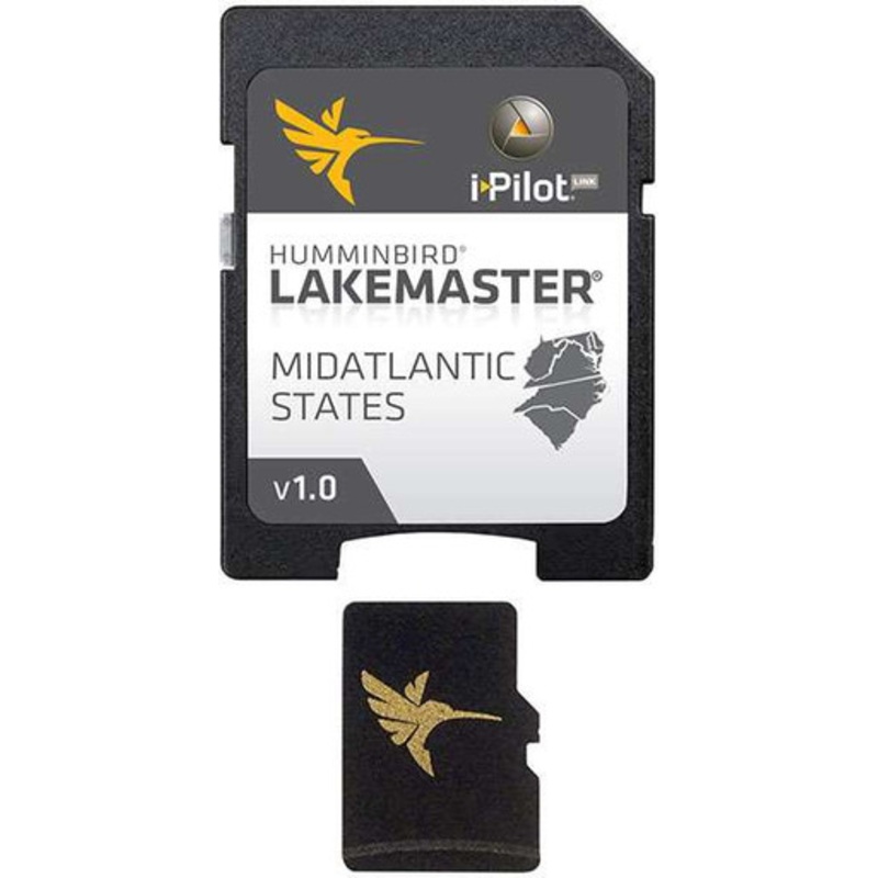
The Humminbird 600043-2 LakeMaster Chart - Mid-Atlantic States - MicroSD/SD covers Delaware, Maryland, North Carolina, South Carolina, Virginia and West Virginia.The MidAtlantic Version 1 map card is i-Pilot Link compatible.+100 Lakes, Ponds and Rivers and
The Humminbird 600043-2 LakeMaster Chart – Mid-Atlantic States – MicroSD/SD covers Delaware, Maryland, North Carolina, South Carolina, Virginia and West Virginia.
The MidAtlantic Version 1 map card is i-Pilot Link compatible.
+100 Lakes, Ponds and Rivers and +30 High Definition surveyed lakes and 11 Lakemaster High Definition surveyed lakes.
Copyright © 2025 .All Rights Reserved.Powered by www.boatmaintenances.com

Reviews
There are no reviews yet.