FREE SHIPPING Over $30 -> Up to 50% Off!
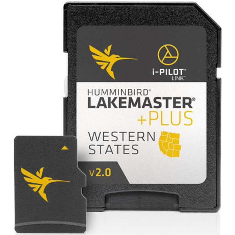
LakeMaster PLUS - Western States - Version 2For an added angling advantage, opt for Humminbird LakeMaster PLUS. These maps include all of the features of LakeMaster with one key addition: aerial photography of high definition lakes, providing visibility to
LakeMaster PLUS – Western States – Version 2
For an added angling advantage, opt for Humminbird LakeMaster PLUS. These maps include all of the features of LakeMaster with one key addition: aerial photography of high definition lakes, providing visibility to docks, buildings, and structure.
You also get the choice of how you view the aerial imagery:
 sale
sale
 sale
sale
 sale
sale
Copyright © 2025 .All Rights Reserved.Powered by www.boatmaintenances.com
Reviews
There are no reviews yet.