FREE SHIPPING Over $30 -> Up to 50% Off!
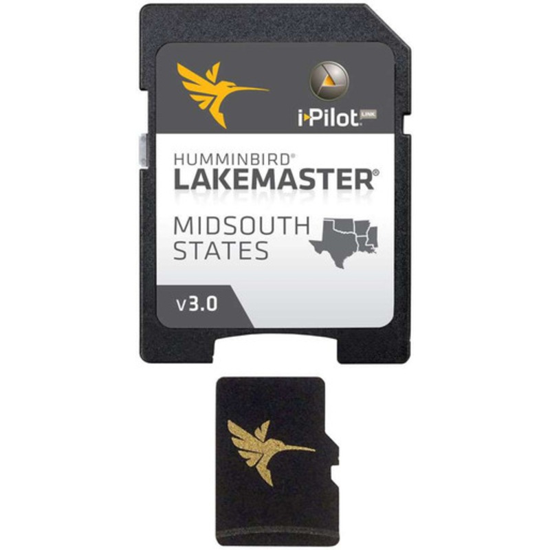
The Humminbird 600009-5 LakeMaster Chart - MidSouth States - MicroSD/SD is a part of Humminbird's series of LakeMaster Charts that give you a serious edge with their unmatched accuracy and detail. Patented features include the ability to select and highlig
The Humminbird 600009-5 LakeMaster Chart – MidSouth States – MicroSD/SD is a part of Humminbird’s series of LakeMaster Charts that give you a serious edge with their unmatched accuracy and detail. Patented features include the ability to select and highlight a specific depth range, the option to shade shallow water ranging from 0 to 30 ft, and the power to synchronize depth chart contours and shorelines with the current water levels of rivers, lakes, and reservoirs. These exclusive features (and more,) will provide you with everything you need to make your time on the water more productive.
Features many freshwater lakes in Mississippi, Louisiana, Arkansas, Oklahoma, and Texas all on one micro card and SD adapter map card. Includes detailed coastal shoreline from Mississippi to Texas, allowing anglers with i-Pilot Link to follow the shoreline at a specified offset for hands-free fishing in shallow coastal areas. Perfect for fishing around islands, mangroves, and inter-coastal waterway shorelines.
This Mid-South States Edition map card adds over 80 new lakes to the previous version and features over 300 total lakes with contours, of which 212 are now high-definition lakes, including these highly requested bodies of water:
 sale
sale
 sale
sale
 sale
sale
Copyright © 2025 .All Rights Reserved.Powered by www.boatmaintenances.com
Reviews
There are no reviews yet.