FREE SHIPPING Over $30 -> Up to 50% Off!

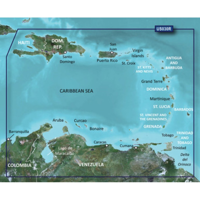
LakeV Ultra U.S. G3 HD - WestThe Premier Freshwater Fishing MapProvides industry-leading coverage, clarity and detail for more than 17,000 lakes with 1 contours that feature integrated Garmin and Navionics dataAuto Guidance technology uses your desired dep
LakeV Ultra U.S. G3 HD – West
The Premier Freshwater Fishing Map
Experience unparalleled coverage and brilliant detail on the water. LakeV g3 Ultra inland water maps provide industry-leading coverage, clarity and detail with integrated Garmin and Navionics data, Auto Guidance technology and high-resolution relief shading.
Auto Guidance Technology
The Auto Guidance feature uses your desired depth and overhead clearance to calculate a route and suggest a path to follow.
High-resolution Relief Shading Feature
High-resolution relief shading combines color and shadow to give you an easy-to-interpret, clearer view of bottom structure than contour lines alone.
Depth Range Shading
This feature provides up to 10 depth ranges, enabling you to view your target depth at a glance.
Shallow Water Shading
This feature allows you to use shading to designate the shallow water depths you need to avoid.
Dynamic Lake Level
You can adjust your maps to the lakes current water level to have a better idea of spots that are either accessible or too shallow to explore.
Unique 3-D Views
MarinerEye and FishEye views provide additional perspective both above and below the water line.
Auto Guidance is for planning purposes only and does not replace safe navigation operations
 sale
sale
 sale
sale
 sale
sale
Copyright © 2025 .All Rights Reserved.Powered by www.boatmaintenances.com
Reviews
There are no reviews yet.